Drone Surveys
Fast, Safe and Efficient Aerial Data Collection
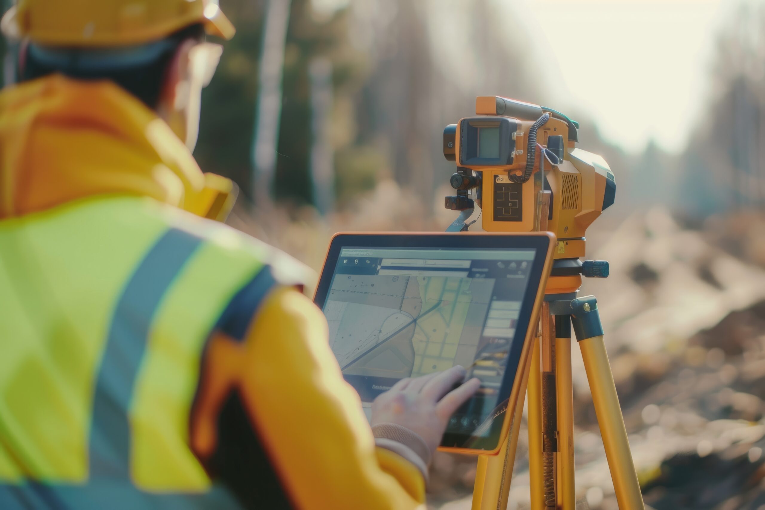
Our drone survey services provide high-resolution aerial imagery, mapping, and 3D data capture for sites that are difficult, large-scale, or unsafe to survey using traditional methods.
Using professional UAV technology, we collect accurate aerial data quickly and efficiently while reducing disruption to ongoing operations.
Drone Survey Services
- Aerial photography
- Orthomosaic mapping
- Topographical mapping
- Volumetric calculations
- Roof inspections
- Progress monitoring
- Infrastructure inspection
- 3D terrain modelling
- Photogrammetry data capture
Benefits
- Rapid coverage of large areas
- Improved health and safety
- Reduced access requirements
- High-resolution visual data
- Cost-effective site surveying
- Accurate geospatial outputs
Industries We Support
- Construction
- Infrastructure
- Real estate
- Energy
- Utilities
- Agriculture
- Heritage and conservation
Reliable Aerial Intelligence
Our drone surveys provide valuable visual and measurable data that supports planning, monitoring, inspections, and decision-making throughout a project.

Photogrammetry
Photogrammetry
First Fix Record Surveys
First Fix Record Surveys
Digital Twins