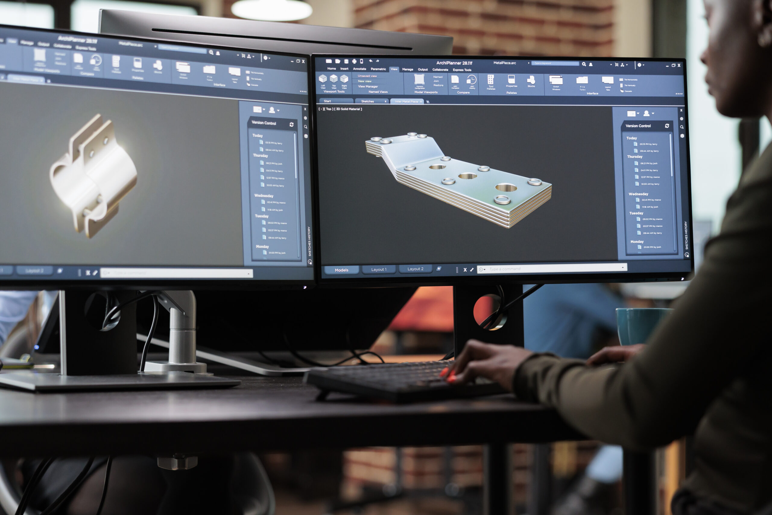
What We Deliver
- High-accuracy spatial data collection
- Point cloud generation
- Existing conditions documentation
- Site-wide digital records
- Measured and verified survey outputs
- BIM-ready datasets
- Visual and measurable digital environments
Benefits of Reality Capture
- Reduce costly site revisits
- Improve project coordination
- Accelerate design and planning stages
- Minimise risk and uncertainty
- Access accurate information remotely
- Create a permanent digital record of the site
Ideal For
- Architects
- Developers
- Contractors
- Engineers
- Facilities managers
- Heritage projects
- Commercial and residential property owners
Why Choose Us
We focus on delivering clear, usable, and dependable data. Our team combines surveying expertise with modern technology to ensure every project is captured accurately, efficiently, and with minimal disruption.